Description
Remote Sensing of Coastal Environments
Remote Sensing Applications Series
Coordinator: Wang Yeqiao
Language: English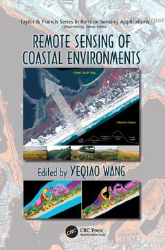
Subjects for Remote Sensing of Coastal Environments:
Keywords
LiDAR Data; Spatial Resolution Remote Sensing Data; LiDAR/Radar Remote Sensing; Refl Ectance Spectra; Hyperspectral Remote Sensing; Sav; High Spatial Remote Sensing; Jamaica Bay; Remote Sensing and In Situ Measurements for Habitat Mapping; Pe Rc; Effects of Land-Use/Land-Cover Change in Coastal Areas; Remote Sensing; Poyang Lake Region; Radar Backscattering; High Spatial Resolution Remote Sensing; Assateague Island; Image Processing; Salt Marsh; ALI Image; Great South Bay; QuickBird-2 Image; High Marsh; MNF Band; Remote Sensing Data; ASAR Backscattering; Fire Island; Land Cover Types; ALI Data; ENVISAT ASAR Data; Double Bounce Backscattering

Publication date: 05-2017
· 15.6x23.4 cm · Paperback
Publication date: 12-2009
424 p. · 15.6x23.4 cm · Hardback
Description
/li>Contents
/li>Readership
/li>Biography
/li>
As coastal environments around the world face unprecedented natural and anthropogenic threats, advancements in the technologies that support geospatial data acquisition, imaging, and computing have profoundly enhanced monitoring capabilities in coastal studies. Providing systematic treatment of the key developments, Remote Sensing of Coastal Environments brings together renowned scholars to supply a clear presentation of the state-of-the-art in this technically complex arena.
Edited by a recipient of the prestigious PECASE award, this book provides unrivaled coverage of the issues unique to coastal environments. It presents the best available data for measuring and monitoring coastal zones and explains how decision makers and resource managers can use this data to address contemporary issues in coastal zone management. The text illustrates the latest developments in active remote sensing, hyperspectral remote sensing, high spatial resolution remote sensing, the integration of remote sensing and in situ data, and covers the effects of land-cover and land-use change on coastal environments.
Complete with representative case studies, this authoritative resource provides a timely snapshot of the wide range of remote sensing applications in coastal issues to enhance the understanding of how increasing disturbances to our coastal regions are affecting the ecological dynamics, biological diversity, and ecosystem health of our coastal environments.
LiDAR/Radar Remote Sensing. Hyperspectral Remote Sensing. High Spatial Resolution Remote Sensing. Remote Sensing and In Situ Measurements for Habitat Mapping. Effects of Land-Use/Land-Cover Change in Coastal Areas.