Description
Lords and Towns in Medieval Europe
The European Historic Towns Atlas Project
Coordinators: Clarke Howard B., Simms Anngret
Language: English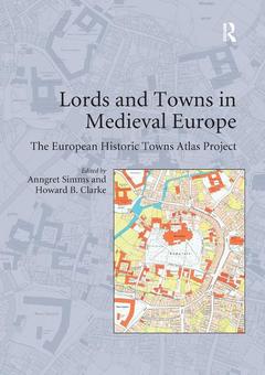
Subjects for Lords and Towns in Medieval Europe:
Keywords
European Historic Towns Atlas Project; Historic Towns Atlas; european; Conrad III; historic; Leopold III; atlas; Town Hall; project; Irish Historic Towns Atlas; plan; Cadastral Maps; foundation; Town Foundation; atlases; Bishop’s Palace; cadastral; Medieval Town Planning; map; Medieval Urban Landscape; irish; Comparative Urban Studies; Anngret Simms; St Stephen’s Church; Dietrich Denecke; Market Settlements; Francesca Bocchi; Medieval Urban Form; Sandrine Lavaud; Town Founder; Daniel Stracke; Franciscan Friary; Thomas Tippach; Royal Irish Academy; Peter Johanek; Geschiedenis Van; Josef Žemlia; Legislative Union; Ferdinand Opll; Deutscher Historischer; Martina Stercken; Teutonic Order; Terry R; Slater; Wiener Neustadt; Roman Czaja; Atlas Historique; Katalin Szende; Planimetric Map; AndrVégh; Paul Niedermaier; Mirela Slukan Altić; Marjatta Hietala; Bram Vannieuwenhuyze; Reinout Rutte; Keith D; Lilley; Derek Keene; Matthias Untermann; Jürgen Paul; Mark Hennessy

Publication date: 12-2019
· 17.4x24.6 cm · Paperback
Publication date: 09-2015
· 17.4x24.6 cm · Hardback
Description
/li>Contents
/li>Biography
/li>
Anngret Simms is Professor Emeritus of Historical Geography at University College, Dublin and a member of the Royal Irish Academy. She has been a joint editor of the Irish Historic Towns Atlas from its very beginnings. She is one of the conveners of the atlas working group of the International Commission for the History of Towns.
Howard Clarke is Professor Emeritus of Medieval Socio-Economic History at University College, Dublin. He has long been an editor of the Irish Historic Towns Atlas and is the author of the fascicle for medieval Dublin. He is a member and former academic secretary of the Royal Irish Academy. He is also a member of the International Commission for the History of Towns.