Description
Global navigation satellite systems: Insights into GPS, Glonass, Galileo, Compass and others
Insights into GPS, GLONASS, Galileo, Compass and Others
Author: Bhatta Basudeb
Language: English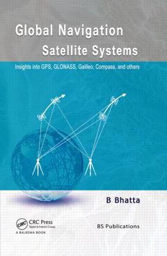
Subjects for Global navigation satellite systems: Insights into GPS...:
Approximative price 181.72 €
In Print (Delivery period: 15 days).
Add to cart the book of Bhatta Basudeb
438 p. · 17.4x24.6 cm · Hardback
Description
/li>Contents
/li>Readership
/li>Biography
/li>
Includes detailed information on GPS, GLONASS, Galileo, Compass, and other regional and augmented systems
Sheds light on the latest developments and modern trends of GNSS
Offers practical guidance for surveying, mapping, and navigation
Includes questions at the end of every chapter
Contains a detailed glossary of terms and extensive reference list
Specifically designed as an introductory reference text, this volume provides a thorough coverage of the basic principles and techniques of GNSS. It starts with the history and basic concepts and subsequently provides an extensive coverage on every GNSS constellation, GNSS signals, errors and accuracy issues, positioning methods, augmentations, satellite geodesy, and GNSS receivers. It also presents a wide spectrum of GNSS applications and practical issues involved in surveying, mapping, and navigation.
Written in a clear style and including advanced topics, a detailed glossary, guidance on surveying, mapping and navigation along with numerous references, this volume is of use to students, researchers and professionals. It will specifically benefit those in geoinformatics, navigation, civil, construction, naval, aviation and transportation engineering working with GNSS for natural resources, agricultural and environmental information, geosciences and geography.
Overview of GNSS
Functional Segments of GNSS
Working Principle of GNSS
GNSS Signals and Range Determination
Errors and Accuracy Issues
Positioning Methods
GNSS Augmentations and Other Navigation Satellite Systems
GNSS Receivers
Geodesy
Applications of GNSS
Surveying with GNSS
B. Bhatta is currently a Course Coordinator in the Computer Aided Design Centre of Jadavpur University, Kolkata. He has more than 13 years of industrial, teaching and research experience in remote sensing, GNSS, and GIS. He has authored many research papers and articles in various journals and magazines. He has also authored several textbooks on Remote Sensing, GIS, GNSS, and CAD. He has been instrumental in initiating a large number of courses on Remote Sensing, GIS, and GNSS to promote Geoinformatics technology.