Description
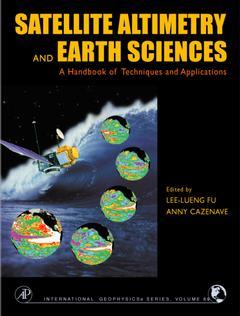
Satellite altimetry & the earth sciences a handbook of techniques and applications
Authors: FU Lee-Lueng, CAZENAVE Anny
Language: English
Approximative price 127.94 €
Subject to availability at the publisher.
Add to cart
Publication date: 10-2000
462 p. · 22x28 cm · Hardback
462 p. · 22x28 cm · Hardback
Description
/li>Readership
/li>Comment
/li>
The new level of precision and global coverage provided by satellite altimetry is rapidly advancing studies of ocean circulation. It allows for new insights into marine geodesy, ice sheet movements, plate tectonics, and for the first time provides high-resolution bathymetry for previously unmapped regions of our watery planet and crucial information on the large-scale ocean features on intra-season to interannual time scales. Satellite Altimetry and Earth Sciences has integrated the expertise of the leading international researchers to demonstrate the techniques, missions, and accuracy of satellite altimetry, including altimeter measurements, orbit determination, and ocean circulation models. Satellite altimetry is helping to advance studies of ocean circulation, tides, sea level, surface waves and allowing new insights into marine geodesy. Satellite Altimetry and Earth Sciences provides high resolution bathymetry for previously unmapped regions of our watery planet. Satellite Altimetry and Earth Sciences is for a very broad spectrum of academics, graduate students, and researchers in geophysics, oceanography, and the space and earth sciences. International agencies that fund satellite-based research will also appreciate the handy reference on the applications of satellite altimetry.
Researchers and graduate students in geophysics, oceanography, and the space and earth sciences,
The book should be an essential text for students and researchers interested in altimetry and would serve well as a companion text for a graduate-level course on satellite remote sensing.'--EOS, Transactions, AGU, Vol. 82, No. 34, 2001'Altimetry has interacted, even revolutionized, our understanding of marine geodesy and seafloor topography, of ocean circulation, surface and internal waves, ice sheets and sea level rise, given that altimetry interacts so broadly with diverse ocean disciplines, this book serves as a text on modern oceanography.' --Walter Munk, Scripps Institution of Oceanography, La Jolla'...summarizes all major aspects of satellite altimetry and its applications to physical oceanography, geodesy and marine geophysics. ...a comprehensive volume and thereby a helpful source
© 2024 LAVOISIER S.A.S.
These books may interest you

Coastal Altimetry 216.90 €


